
Unlocking Earth's Resources with Next-Generation Gravity Sensing
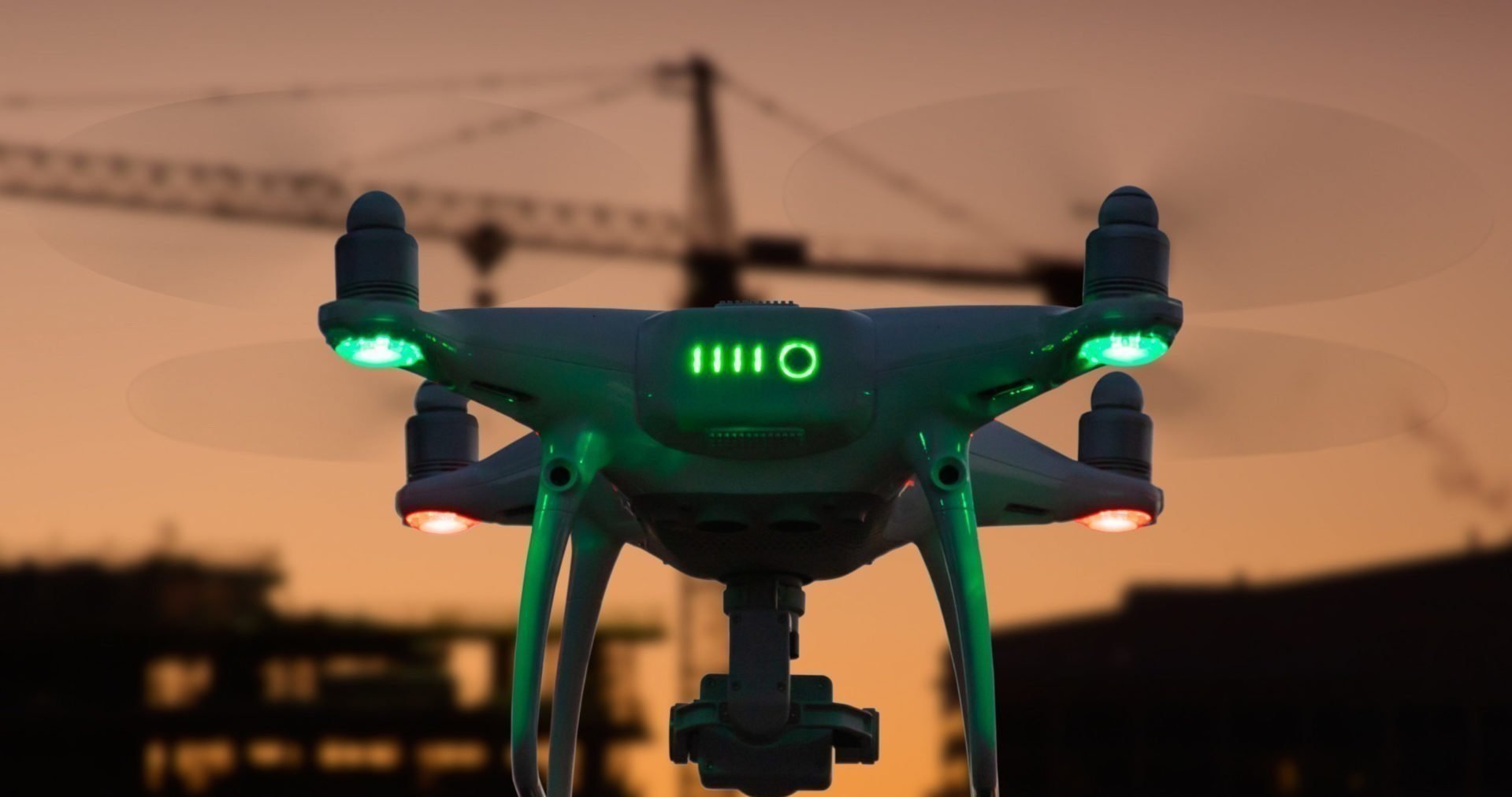
Miniaturised gravity sensor technology deployed on a drone
GravTech Solutions pioneers next-generation geophysical surveys using drone-based gravity gradiometers.
Our technology enables faster, safer and more precise subsurface exploration for natural resources, infrastructure, and environmental monitoring.
We unlock critical insights while reducing costs and environmental impact.


Why it matters
Traditional gravity survey methods rely on costly, time-consuming and logistically complex campaigns using manned aircraft, ships or ground crews.
GravTech removes these barriers by mounting advanced gravity gradiometer technology on unmanned aerial systems, dramatically reducing cost, improving resolution and enabling surveys in previously inaccessible regions.
How it works
Our technology leverages ultra-sensitive gravimeters and AI-driven data processing to map variations in gravitational fields.
By analysing these subtle changes, we identify underground structures with remarkable accuracy, reducing exploration risks and accelerating discovery.
Green by Design
Built to Perform
Green by Design Built to Perform
Detects even the smallest gravitational anomalies
PRECISION
Minimizes environmental impact with non-invasive surveys
SUSTAINABILITY
Cuts exploration time and costs by up to 60%
EFFICIENCY
Transforming Industries with Gravity Sensing
Mining & Minerals
Locate high-value deposits faster and with greater accuracy
Water
Optimize reservoir mapping and reduce drilling risks.
Oil & Gas
Identify and monitor groundwater sources in real time.
Infrastructure
Assess ground stability for construction and urban planning.